

Forget the cloud, GIS and edge AI solve problems where they happen
Driven by the urgency to solve real-world challenges, organizations increasingly recognize the power of AI. Powerful cloud-based models like large language models (LLMs) or computer vision excel in the cloud but falter when faced with locations that have low bandwidth or fluctuating connectivity to the cloud. For organizations dealing with dynamic situations like disaster recovery or public safety, the resource-intensive nature of these models has led them to reconsider where AI processing occurs to ensure maximum effectiveness.
That’s where edge AI, or on-device AI, comes in. It’s also why Latent AI teamed with Esri, a recognized leader in geographic information system (GIS) software, to integrate its Latent AI Efficient Inference Platform (LEIP) with Esri’s ArcGIS system. The all-in-one AI development kit in LEIP, combined with the powerful geographic location intelligence and mapping in ArcGIS, opens a new era of edge-powered geospatial analysis. Now, organizations can leverage real-time decision-making by processing data directly on drones, sensors, cameras, and other devices at the edge, wherever deployed.
Possibilities are limitless
The ability to make smarter choices faster and more efficiently opens up a world of new use cases.
Disaster Recovery
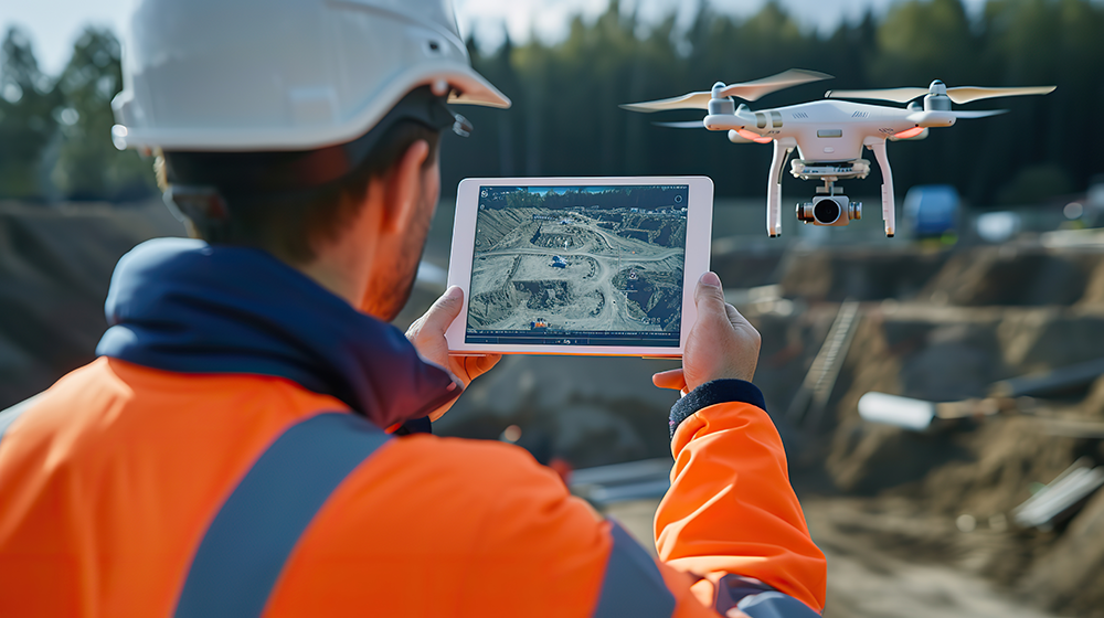
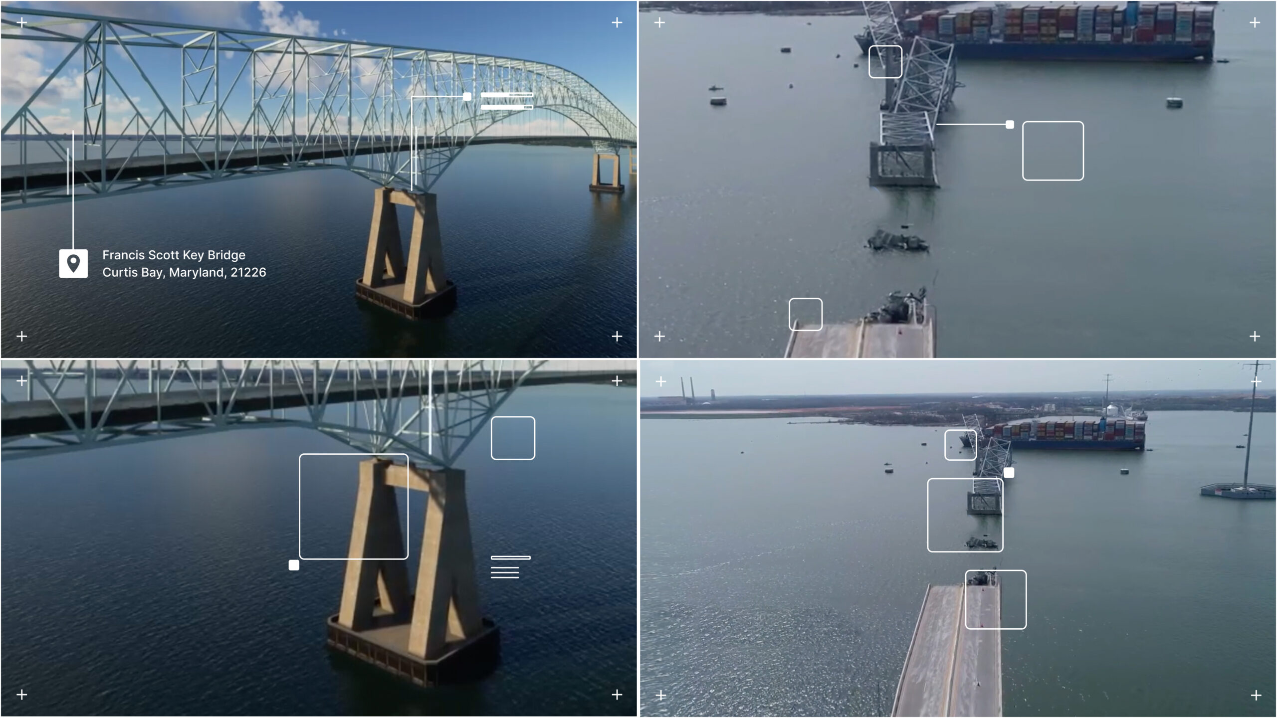
Imagine AI-equipped drones assisting with disaster response, like the Key Bridge collapse in Baltimore, Maryland. Computer vision models on drones can identify debris, providing vital information for emergency and reconstruction teams. Following a disaster scenario with limited communication infrastructure, drones equipped with AI tuned with ArcGIS data can rapidly assess damage and provide real-time data to first responders. LEIP’s on-device updatable AI allows for adjustments based on the situation, ensuring models remain relevant even as conditions change.
Urban Management and Public Safety
LEIP and ArcGIS, working in tandem, unlock a new level of predictive maintenance for urban management and public safety teams as they plan and monitor large sporting events or music concerts. AI-driven applications can provide valuable insights into crowd density and walking flow that help enhance outcomes for community and government entities.
AI is particularly useful in emergency situations because it is adept at interpreting problems and can even suggest possible crowd management actions. AI is also used to identify problems before they occur, like the unpredictable effects of extreme heat or heavy precipitation on a large crowd.

Agriculture and Resource Management
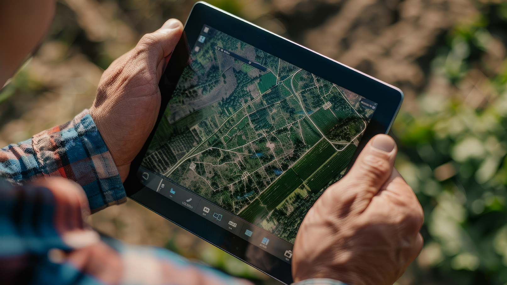
Edge AI is already helping in precision agriculture when sensors on drones and tractors are deployed to collect real-time data on soil conditions, crop health, and moisture levels. Edge AI models tuned with LEIP and ArcGIS data can analyze this data and provide site-specific fertilizer use and irrigation recommendations, optimizing crop yields and minimizing waste. These models can further account for evolving weather patterns and adjust recommendations in real time, ensuring optimal crop health throughout the growing season.
From concept to reality with the LEIP platform
While the potential of edge AI for geospatial use cases is undeniable, its successful implementation relies on the interoperability between the geospatial data platform and machine learning frameworks. Latent AI has been on the forefront of helping the government realize operational benefits of applying edge AI to unique use cases where precision in the field is necessary. Our expertise and capabilities solve key challenges related to remote field AI applications.
Effortless integration of GIS data and ML model design
We understand the complex process of designing and testing edge AI models. LEIP helps standardize and simplify this process by providing easy-to-use tools and a library of over 50,000 benchmarked configurations. LEIP also provides ArcGIS analysts with the benefit of working within their familiar ArcGIS interface to build datasets and analyze inferences. LEIP takes ArcGIS data from the imagery and feature layers and combines it into a standard dataset format used in ML models, guides ArcGIS analysts through tailoring to specific hardware, and allows them to return to ArcGIS for analysis.
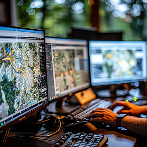
As your model runs, inferences are streamed back to ArcGIS in real-time. From there you can validate your data, update the dataset, and retrain and redeploy to your device.
Adapt to changing needs in the field
The value of real-time decision making, particularly in remote locations, is critical in realizing all the benefits of edge AI. For this reason, LEIP and ArcGIS integration offers a means to adjust in the field with or without internet connectivity. Using Latent AI’s field-updatable toolkit, users can analyze results, make adjustments through a simple interface, and retrain and redeploy the AI model directly on their drones, sensors, or other edge devices.
To learn more about LEIP and our integration with ArcGIS, visit our Esri partner page or contact info@latentai.com for a demo.
Recent Blogs